Our Technology / Digital MRV
Prana's Digital Measurement, Reporting & Verification (dMRV) stack turns every resilience project into quantified, audit-ready evidence — so every dollar invested delivers outcomes you can see and trust.
The dMRV Loop
Execute
Partners deliver on the ground
Capture
Satellite, drone & sensor data
Verify
Signatures and validation
Report
Audit-ready dashboards
The Full Stack
Prana Earth is full-stack water-resilience infrastructure. We predict where climate and water risk hits your assets, connect you to vetted adaptation projects, then measure and verify the outcomes. Digital MRV is the layer that closes the loop.
01 — PREDICT
AI models score asset-level water and climate risk across your portfolio under multiple scenarios.
02 — ADAPT
Invest in a vetted database of adaptation projects built by our implementation partners.
03 — DIGITAL MRV
Prove real, independent, audit-ready impact for every project you fund, for the life of the project.
Prana Resil / The Intelligence Layer for Resilience
Project performance tracked continuously from satellite data and on-ground inputs — not a once-a-year snapshot.
Audit-ready outputs generated for compliance and investors, without manual assessment or spreadsheet stitching.
A dedicated validation layer ensures credibility, transparency and trust in every impact claim.
From field collection to verified output
01
On-ground partners capture geo-referenced project data through the Prana field app.
02
Satellite, drone and in-situ sensor feeds triangulate independent ground truth.
03
All models quantify impact and cross-check sources under an independent validation pass.
04
Verified outcomes surface as audit-ready dashboards and reports for compliance and investors.
The Output
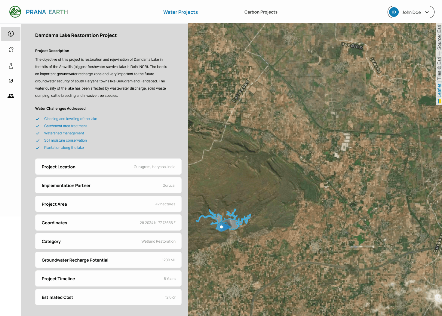
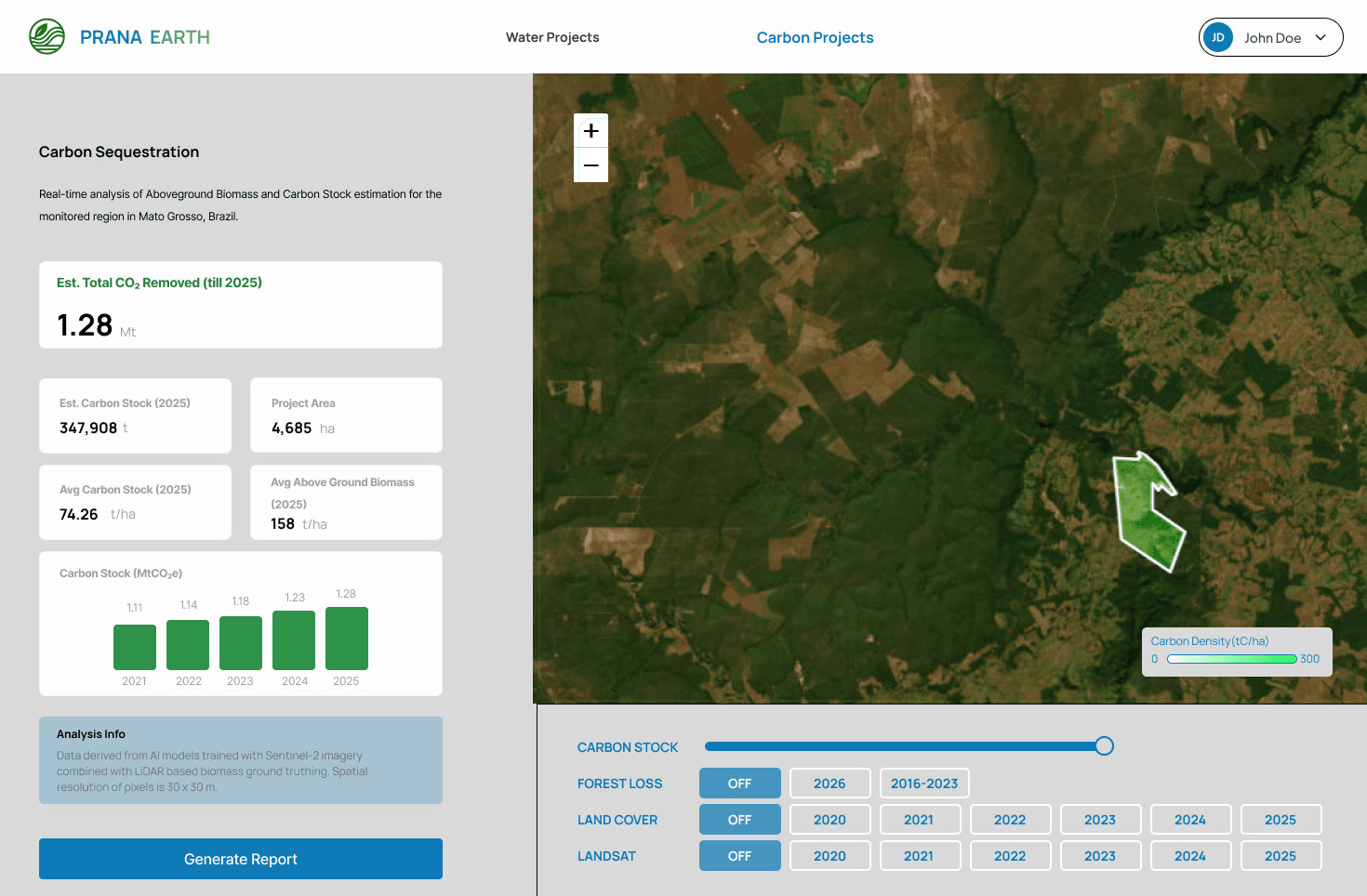
Verified impact lands here: yearly volume of water balanced against target, satellite-mapped project boundaries, and one-click audit-ready reports.
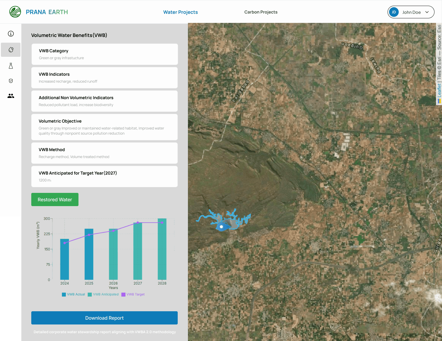
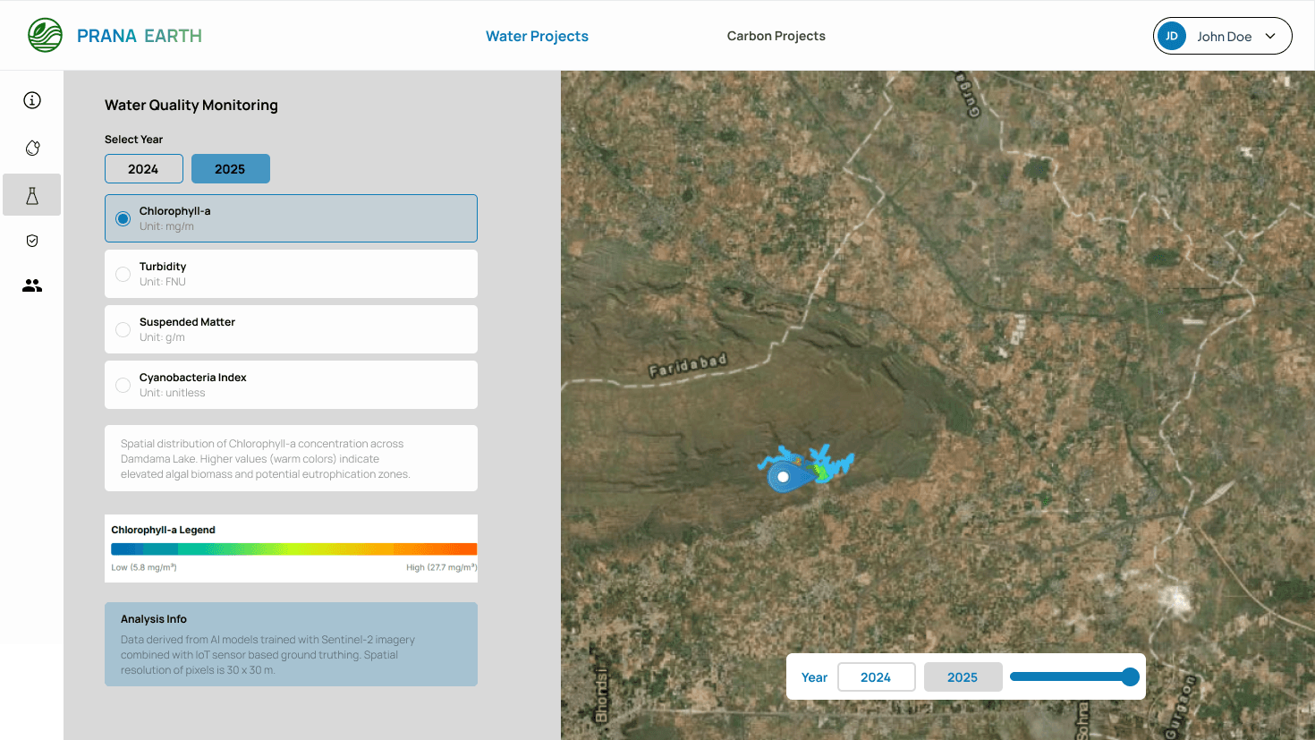
Volumetric Water Benefits (VWB)
Real-time tracking of water restored vs corporate targets with one-click audit report downloads.
Ground Truth
No single feed is trusted on its own. Remote sensing, aerial capture and physical sensors cross-check one another, so verified outcomes hold up to independent audit.
Remote-sensing imagery tracks vegetation, water and change over the whole landscape.
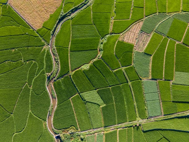
High-resolution aerial passes capture site-level detail.
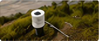
Physical readings — flow, groundwater, soil moisture — anchor every estimate in reality.